Surveying Services
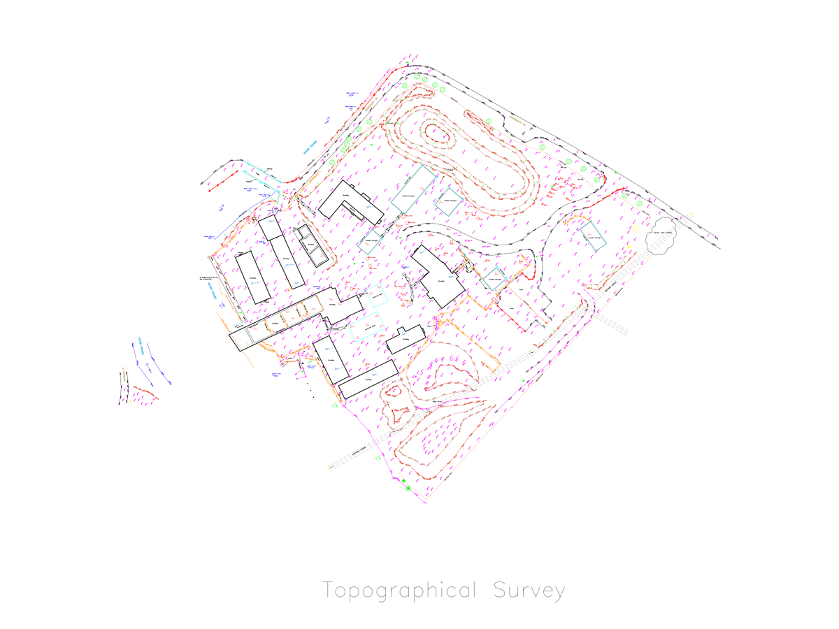
Topographical Surveys
We are highly experienced in Topographical Surveys. Using the very latest in surveying equipment, software and techniques, we are able to produce accurate survey data that is efficiently collected, edited and supplied in a range of formats.
We are happy to take on any project from residential surveys to large scale projects. We have worked with architects, designers, builders, construction companies and more.
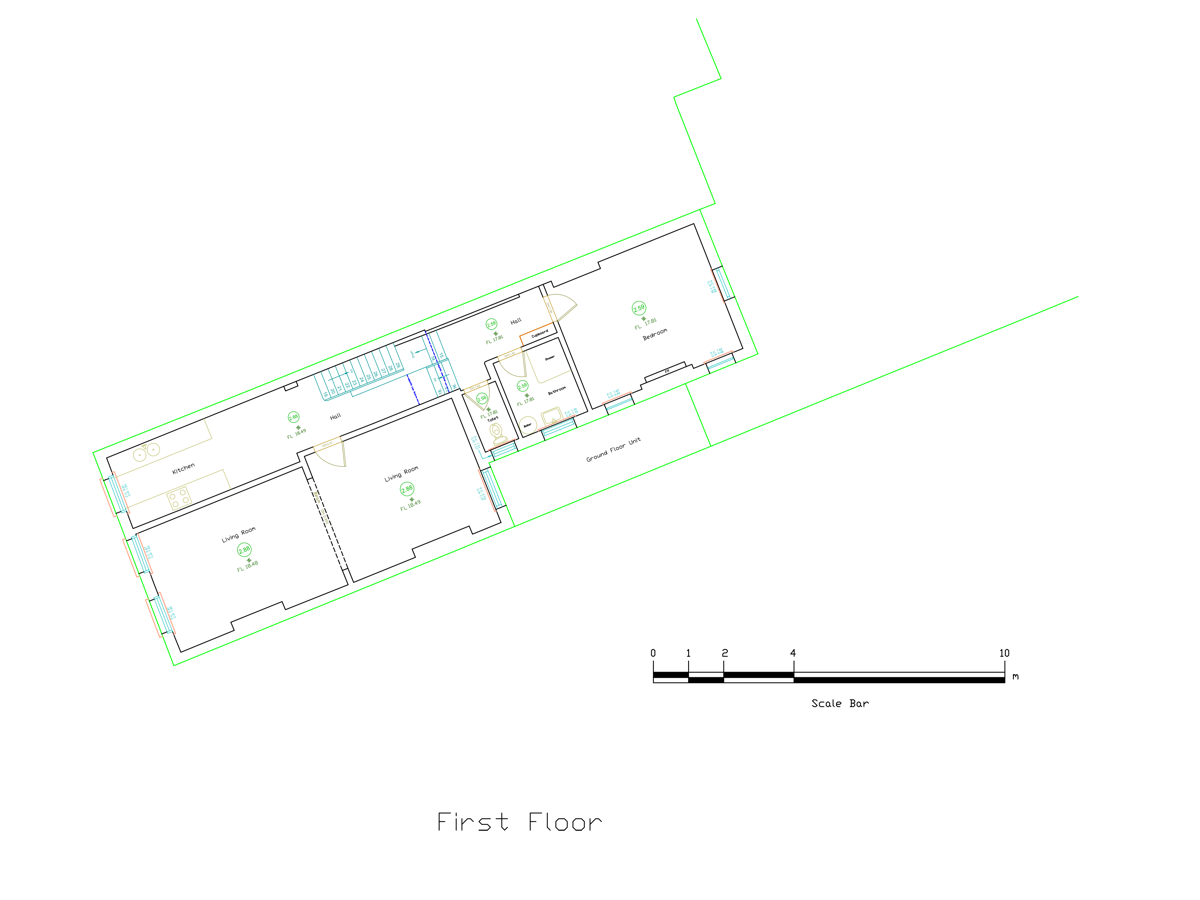
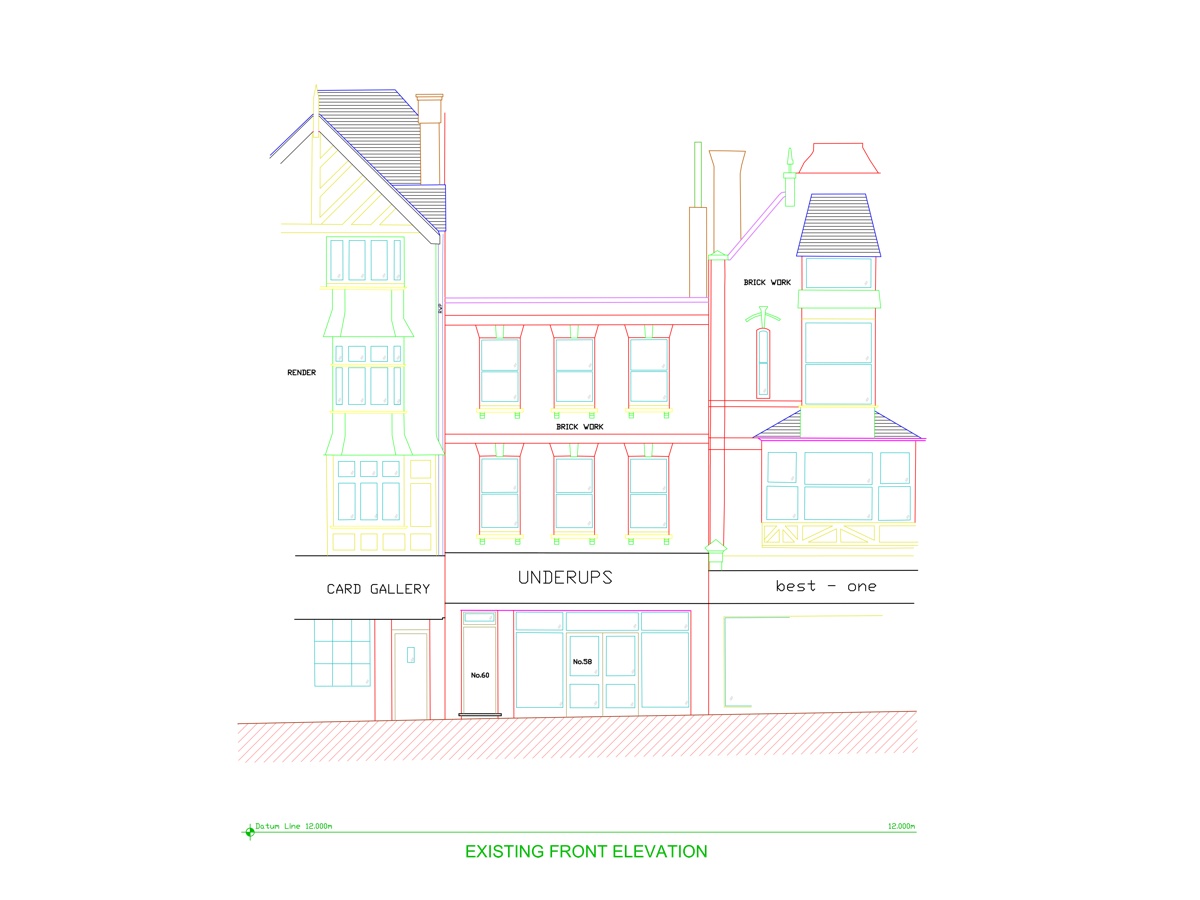
Measured Building Surveys
BS Land and Engineering Surveys provide Measured Building Surveys for various purposes including:
- Building Refurbishments
- As constructed
- Extensions for planning
- Space planning and asset management etc
- Elevation Surveys
- Measured Floor Plans
- Cross Sections.
GPS Surveys
GPS (Global Positioning System) is a highly accurate and time efficient method of modern surveying and engineering practice. Whatever the requirements, we utilise a combination of GPS and Total Station to produce the best results.
GPS surveys are valuable tools for:
- Large areas of topographical surveys
- Site engineering and control points survey
- Flood risk assessment
- Coastline surveys
Volumetric Measurement
Volumetric Measurement to determine the value of earthworks is a significant part of any construction project. It is very important to get accurate costings before and during construction process. We survey all existing site levels to generate enough information to create an accurate terrain model.
Overlaying it on a model produced from the design layout (formation/vl, type 1, tarmac) enable us to calculate best possible volume result. Cut & fill sections are created.
Monitoring
Monitoring a Structure or Building for Movement or Deformation brings specific challenges and requires precise solutions.
Structural monitoring assesses any movement of adjacent buildings, remaining facades or any other structure, which needs to remain, and are put into of damage by surrounding building or demolishing activities.
In B.S. Land and Engineering Surveys highly experienced team of professional surveyors provide detailed structural monitoring systems to ensure the safety of your project.
Get in contact to find out more or to view a gallery of our previous projects click here
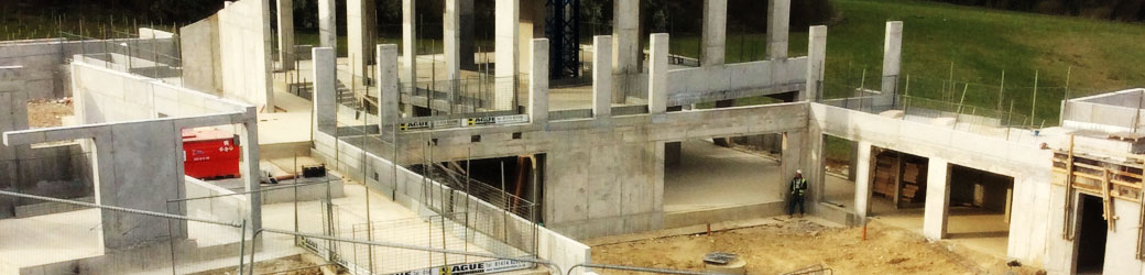
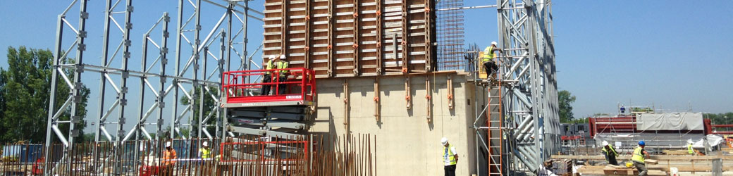
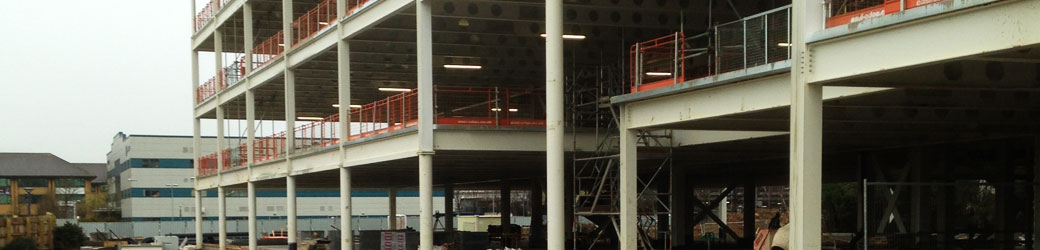
Site Engineering
B.S. Land and Engineering Surveys has a decade of experience in setting out services. Using a mix of robotic total station and GPS technology in conjunction with CAD software, we are proud to offer top class services.
Our engineers transfer data directly from the designed drawings to setting out equipment – eliminate manual calculations and many other steps where errors typically occur.
We can undertake any project from ground works package to heavy civil power stations. Therefore our engineers can work with, but are not limited to:
- Establish and survey site control points network
- Pile positions, pile cups
- Foundations, building location
- RC frame
- Roads, highways
- Drainage system
- Steel positions, holding down bolts
GET IN TOUCH OR VIEW OUR PROJECT GALLERY
© BS Land & Engineering Surveys
2 Boston Close
Dover
Kent, CT16 2BP
Tel: 01304 204 654
Mob: 07866 927475
Email:
Website by Kikk Canterbury
Contact Webmaster