Benefit from an Experienced Topographic Surveyor in London
Using our topographic surveyors in London can benefit your project in a wide variety of ways. Whether you need assistance in the field of construction, urban planning or land development, we offer exceptional support for clients in London and the surrounding counties.

Here are few reasons to use our services in London in 2024:
BS Land & Engineering Surveys delivers topographic surveys that assist with planning and design:
Our detailed topographic surveys can provide you with invaluable information about the existing terrain. This includes any elevation changes, natural features, and man-made structures. London is one of the most historic cities on the planet, so construction work can often uncover many interesting features.
We produce information that is crucial for architects, engineers, and urban planners when designing buildings, infrastructure or carrying out landscaping. By helping you better understand the existing conditions of the site, you can make more informed decisions during the planning process.
Get accurate data before a construction project begins.
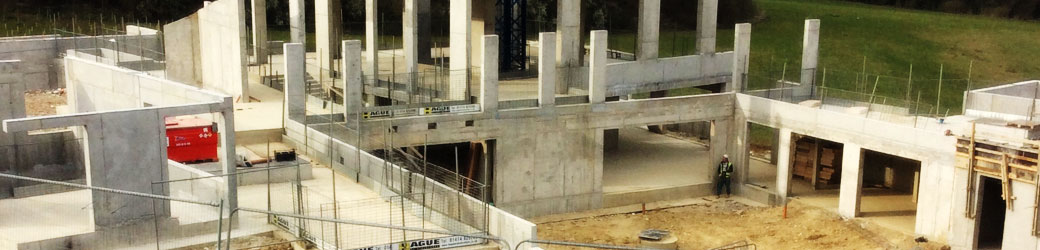
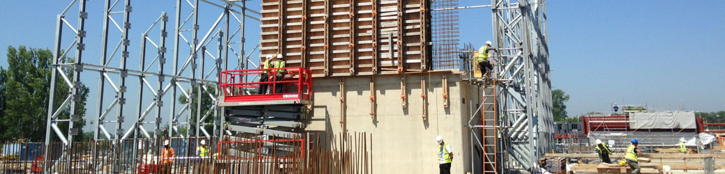
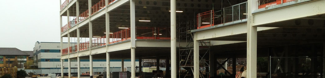
Before construction begins, it's important to have accurate data about the land you’re using. Topographic surveys help construction professionals identify potential challenges such as slopes, drainage issues, or existing structures that may impact the construction process. This information allows for better project planning and risk mitigation.
Our topographical surveys are ideal for infrastructure development.
City planning and infrastructure projects, such as roads, bridges, and utilities, require precise topographic data.
Our surveyors can map out the existing features of the land to ensure that new infrastructure is designed and implemented effectively. This is particularly important in a densely populated and developed city like London.
The capital has approximately 5,590 people per square kilometer. The central areas tend to have higher population densities compared to the outskirts. However, these figures are subject to change over time due to factors such as migration, urban development, and other demographic trends.
Get information about the environmental impact.
Topographic surveys contribute valuable data for environmental impact assessments. Understanding the natural features of an area helps in assessing how construction or development projects may affect the local environment, wildlife, and ecosystems. This information is crucial for obtaining necessary approvals and permits.
Although it’s a bustling metropolis, London does have a surprising amount of wildlife, both within its parks and along its waterways.
Various bird species can be found in London's parks and green spaces. Common species include pigeons, sparrows, blackbirds, and robins. In addition, waterfowl such as ducks and swans are often seen in the city's ponds and rivers.
Meet the latest legal and compliance requirements.
Topographic surveys help ensure that construction and development projects comply with local zoning regulations, building codes, and other legal requirements. Accurate survey data can prevent legal issues and delays by demonstrating that the project adheres to all necessary guidelines.
Have up-to-date information for property transactions.
London has one of the most competitive property markets in the world. As a major global financial hub, it hosts the headquarters of many international banks and financial institutions. As one might expect, there is a high demand for property from professionals working in the financial sector. The health of London's property market is often seen as an indicator of the overall economic health of the city and, to some extent, the global economy.
The capital is a great place for investment opportunities.
The London property market is seen as a safe and stable investment option. Many investors, both domestic and international, view real estate in London as a long-term investment that can provide capital appreciation and rental income. The market has historically shown resilience, making it attractive to investors seeking stability.
London's diverse and multicultural population contributes to a dynamic property market. Different communities have varying housing needs and preferences, leading to a wide range of property types and styles. This diversity attracts both local and international buyers and tenants.
When buying or selling land, having an up-to-date topographic survey can be crucial. It provides a comprehensive understanding of the property's features and boundaries, helping to avoid disputes and ensuring that both parties have accurate information about the land.
Benefit from experts in risk management.
Identifying potential risks early in a project is essential for successful completion. Our topographic surveys can assist in risk management by providing information about the stability of the land, potential flooding risks, and other factors that could affect the safety and longevity of a structure.
Using our topographic surveyors in London will help you make better informed decisions in construction, development, and urban planning projects. It ensures that you always have accurate data about the existing conditions of the land, helping to mitigate risks, comply with regulations, and design and execute projects more effectively.
Find out more about our detailed topographical surveys in London. Or don’t hesitate to contact our friendly team for more information.